Istanbul on Street View
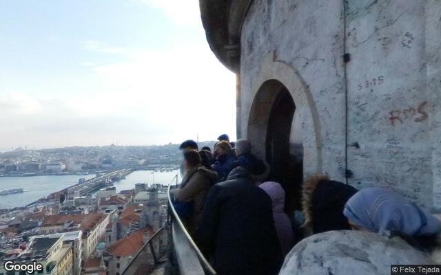
How to recognise the city from a panorama
Istanbul is the only large city spread across two continents. Steep streets, minarets on the skyline and blue district signs in Turkish — with its distinctive ı, ş and ğ — give it away.
What the streets look like
Streets climb and drop steeply, with minarets on the skyline. Buildings press against each other, laundry hangs from balconies, and ground floors are given over to shops.
How to tell it from lookalikes
The Turkish alphabet with ı, ş and ğ and minarets instead of bell towers separate it from Athens. From Baku it differs by density and terrain.
Useful details
District plates are blue and carry the word Mahallesi. Ferries are visible along the Bosphorus, and the historic tram runs down a pedestrian street.
Geogessr drops you somewhere random in the world — sometimes in Istanbul. Work out where you are and drop a pin on the map.
Where this city turns up
This city’s anchor point belongs to the following modes — that is where to practise it:
Europe · Cities · Classic · Duel
Country giveaways
A quick check when the panorama looks unfamiliar: these signs are visible almost anywhere in the city.
| Country | Türkiye |
|---|---|
| Driving side | right-hand |
| Licence plates | white · blue band with the letters TR |
| Script on signs | Latin |
| Currency | TRY ₺ |
| Time zone | UTC+3 |
| Domain | .tr |
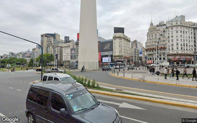 Buenos Aires
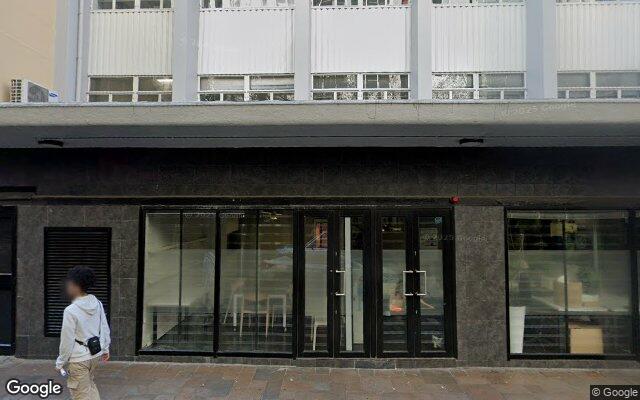 Cape Town
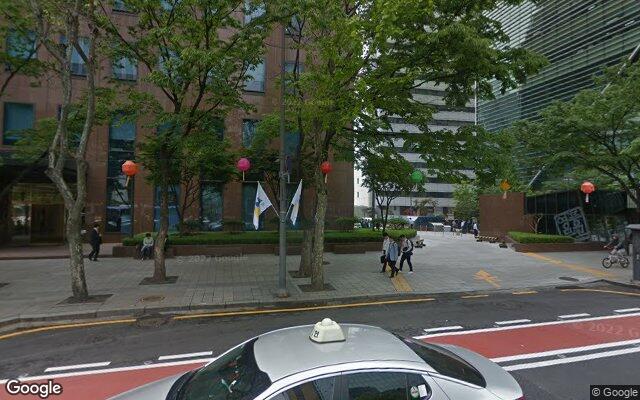 Seoul
Seoul Mexico City
 Amsterdam
 Bangkok
 Rome
Rome Toronto