Buenos Aires on Street View
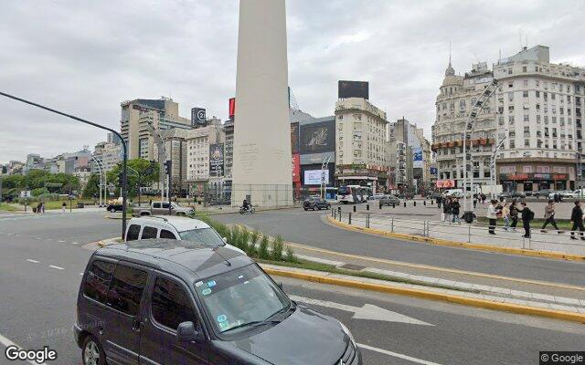
How to recognise the city from a panorama
Argentina shows blue plates and plane trees along the streets. Buenos Aires adds a strict square grid and railed balconies — architecture closer to Madrid than to its neighbours.
What the streets look like
Blocks are strictly square, buildings three to five storeys with balconies behind wrought-iron railings. Plane trees line the streets and the tiled pavements are often broken.
How to tell it from lookalikes
Yellow Mercosur plates and the sun in the north separate it from Madrid. From Montevideo it differs by sheer scale — Buenos Aires is far larger and denser.
Useful details
Street names sit on small plates at building corners, often with the block number. Colectivo buses are brightly painted and numbered in large digits.
Geogessr drops you somewhere random in the world — sometimes in Buenos Aires. Work out where you are and drop a pin on the map.
Where this city turns up
This city’s anchor point belongs to the following modes — that is where to practise it:
Americas · Cities · Classic · Duel
Country giveaways
A quick check when the panorama looks unfamiliar: these signs are visible almost anywhere in the city.
| Country | Argentina |
|---|---|
| Driving side | right-hand |
| Licence plates | Mercosur format, dark band on top |
| Script on signs | Latin |
| Currency | ARS $ |
| Time zone | UTC−3 |
| Domain | .ar |
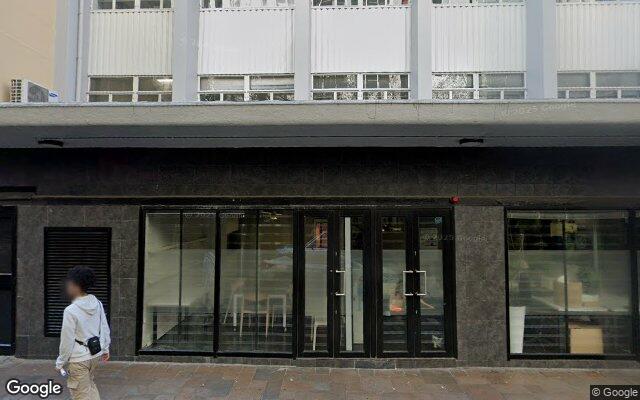 Cape Town
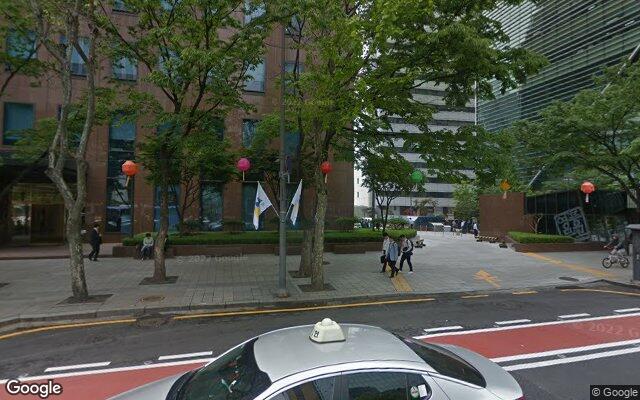 Seoul
Seoul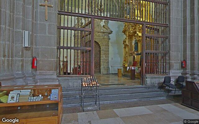 Mexico City
 Amsterdam
 Bangkok
 Rome
Rome Toronto
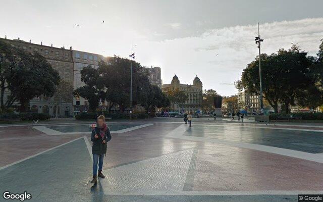 Barcelona