Mexico City on Street View
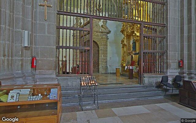
How to recognise the city from a panorama
Mexico shows green-and-yellow taxis, topes — tall speed bumps — and thick bundles of overhead cables. Mexico City sits at 2,240 metres, so mountains are almost always on the horizon.
What the streets look like
Taxis are green and yellow or pink, and the roads carry tall speed bumps called topes. Cables hang in thick bundles and facades are often painted in strong colours.
How to tell it from lookalikes
Topes and taxi colour separate it from Bogotá and Lima. From Spanish cities it differs by terrain and the mountains on the horizon — the capital sits at 2,240 metres.
Useful details
Street names sit on small plates with the colonia, the district name. On clear days the volcanoes to the south-east serve as a landmark.
Geogessr drops you somewhere random in the world — sometimes in Mexico City. Work out where you are and drop a pin on the map.
Where this city turns up
This city’s anchor point belongs to the following modes — that is where to practise it:
Americas · Cities · Classic · Duel
Country giveaways
A quick check when the panorama looks unfamiliar: these signs are visible almost anywhere in the city.
| Country | Mexico |
|---|---|
| Driving side | right-hand |
| Licence plates | white · state-issued, the design changes from state to state |
| Script on signs | Latin |
| Currency | MXN $ |
| Time zone | UTC−6 |
| Domain | .mx |
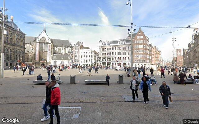 Amsterdam
 Bangkok
 Rome
Rome Toronto
 Barcelona
 Singapore
 Prague
 Dubai
Dubai